Best Ultimate guide for Pilotage and Dead Reckogning

Introduction to VFR Navigation in flight training

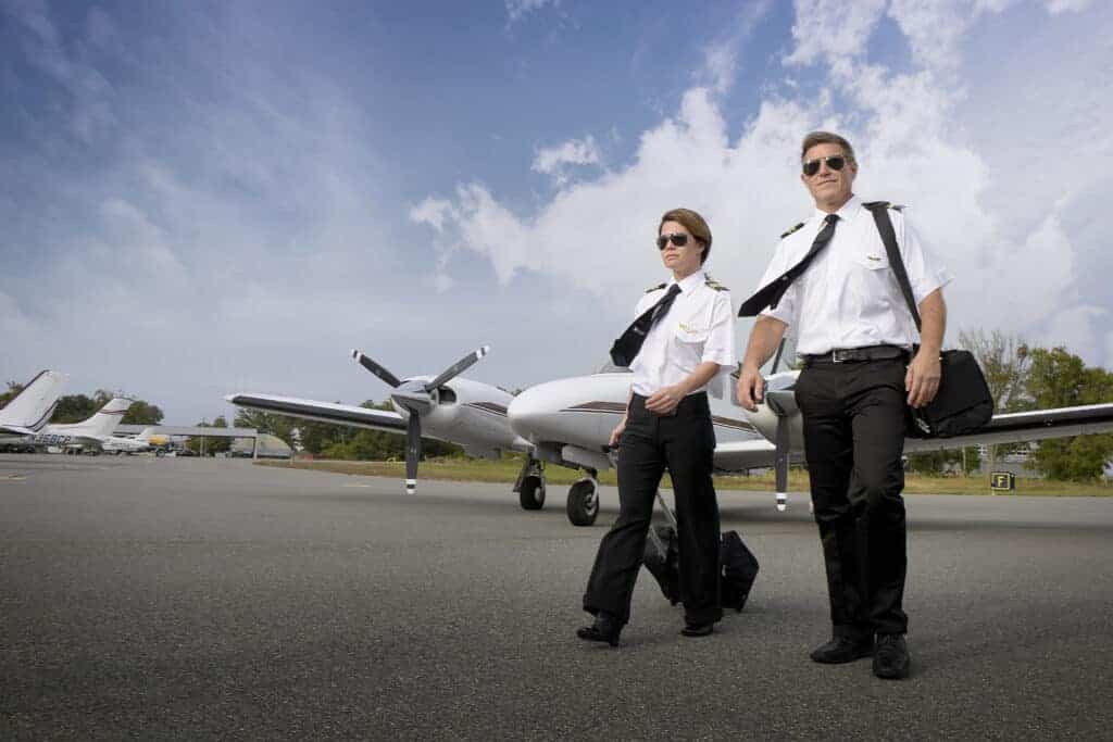
Photo by monika1607 on Pixabay
Visual Flight Rules (VFR) navigation represents a significant cornerstone in aviation. It is the method by which pilots navigate an aircraft by visual reference to the ground, using the natural landscape or man-made landmarks. This form of navigation is predominantly used when weather conditions are clear, and visibility is unhindered. A solid understanding of VFR navigation is crucial for pilots, as it provides a foundation for their ability to navigate efficiently and safely across vast expanses of airspace.
The principles of VFR navigation are straightforward and effective, combining a variety of techniques, including pilotage, dead reckoning, terrestrial navigation, and the use of navigational aids such as the Very High Frequency Omnidirectional Range (VOR) and GPS technology. However, as simple as these principles may seem, mastering them requires a blend of theoretical knowledge, practical skills, and a keen sense of spatial awareness.
The purpose of this article is to delve into the intricacies of VFR navigation, particularly focusing on the indispensable roles of pilotage and dead reckoning. It will also explore the importance of terrestrial navigation, the workings of a VOR, and the increasing reliance on GPS for pilot navigation. Furthermore, it will discuss the training provided by flight schools and the challenges and solutions associated with navigating the U.S. airspace.
Understanding Pilotage and Dead Reckoning
Pilotage and dead reckoning are two primary techniques used in VFR navigation. Pilotage involves flying an aircraft from one visible landmark to another, using topographic maps and the pilot’s knowledge of the terrain. It requires a meticulous eye for detail and a thorough understanding of the landscape, both of which are enhanced through experience and training.
On the other hand, dead reckoning is a navigational process that takes into account the aircraft’s previous position, its speed, and the flying time to predict its current location. Dead reckoning requires mathematical computations and a good understanding of the aircraft’s performance capabilities. Here, the pilot uses the compass and the aircraft’s instruments, along with the time elapsed since the last known position, to estimate their current position.
Both pilotage and dead reckoning are intertwined, often used together in VFR navigation. The pilot may use pilotage to confirm the aircraft’s position visually, while dead reckoning is applied to predict the next position. This interplay between the two techniques forms an integral part of a pilot’s navigational skills set.
The Importance of Pilotage in VFR Navigation
Pilotage plays a critical role in VFR navigation. It allows pilots to orient themselves using visual references on the ground, such as geographical features or man-made landmarks. When flying under Visual Flight Rules, pilots must be able to identify their location at all times, making pilotage a crucial skill.
Furthermore, pilotage is not just about recognizing landmarks; it also involves interpreting topographical maps, understanding the landscape, and correlating this information with the real-world view from the cockpit. This skill becomes particularly important when flying in unfamiliar areas or when other navigational aids fail.
Finally, pilotage is an essential tool for maintaining situational awareness. By continuously identifying landmarks and cross-referencing them with their planned route, pilots can ensure they are on course, and more importantly, avoid restricted or dangerous areas.
Dead Reckoning: An Essential Skill in VFR Navigation
Dead reckoning is another core technique in VFR navigation. It allows a pilot to calculate their current position based on a previously known position, the elapsed time, the aircraft’s speed, and the course. Dead reckoning requires a solid understanding of the aircraft’s performance, good mathematical skills, and the ability to interpret the aircraft’s instruments accurately.
The strength of dead reckoning lies in its simplicity and practicality. It does not rely on any external aids or signals; instead, it is based solely on the basic principles of navigation. This makes it a reliable method in situations where other navigational aids are unavailable or unreliable.
However, dead reckoning is not without its challenges. It is sensitive to errors in initial position, course, speed, and time. Therefore, it is often used in conjunction with other navigation techniques such as pilotage, to confirm or correct the estimated position.
The Role of Terrestrial Navigation in VFR
Terrestrial navigation, also known as ground navigation, is another integral component of VFR navigation. This technique involves using the physical characteristics of the earth to determine one’s position and to navigate from one place to another. In aviation, terrestrial navigation is used in conjunction with pilotage and dead reckoning to provide a comprehensive navigational approach.
In terrestrial navigation, pilots use geographical features such as mountains, rivers, coastlines, and man-made structures like cities, roads, and airports as reference points. By comparing these features with those on an aeronautical chart, pilots can confirm their position, track their progress, and plan their route.
While terrestrial navigation may seem outdated in the era of advanced navigational aids like GPS, it remains a fundamental skill for pilots. It provides a backup method of navigation in case of instrument failure, and it also enhances a pilot’s spatial awareness and understanding of the terrain.
What is a VOR and How Does it Work in VFR Navigation?
The Very High Frequency Omnidirectional Range (VOR) is a type of short-range radio navigation system that enables aircraft to determine their position and stay on course by receiving radio signals transmitted by a network of fixed ground radio beacons. It is widely used in aviation, including VFR navigation.
The VOR system works by transmitting two signals simultaneously. The phase difference between these two signals changes depending on the direction of the receiving aircraft from the VOR station. By measuring this phase difference, the aircraft’s navigation equipment can determine its bearing from the station, providing a reliable and accurate method for pilots to verify their course.
Despite the advent of satellite-based navigation systems, VOR remains a vital component of the aviation navigational infrastructure. It is used as a primary navigational aid in many countries and serves as a backup system in case of GPS failure.
GPS for Pilot Navigation: A Modern Necessity
With technological advancements, Global Positioning System (GPS) has become a staple in VFR navigation. GPS offers pilots real-time positional information, allowing them to navigate with remarkable accuracy and ease. It provides data on the aircraft’s latitude, longitude, altitude, and ground speed, aiding in precise navigation and flight planning.
GPS has revolutionized aviation navigation, making it more efficient and safer. It has simplified the process of route planning, reduced the workload of pilots, and enhanced situational awareness. Moreover, it provides a reliable navigation solution in areas where ground-based navigational aids are sparse or non-existent.
However, despite its many advantages, reliance on GPS should not diminish the importance of traditional navigation skills. Pilotage, dead reckoning, and the ability to interpret aeronautical charts remain vital skills for pilots, serving as crucial backups when technology fails.
Flight School Training and Navigation: Preparing for the U.S. Airspace
Flight school training plays a vital role in preparing pilots for navigating the U.S. airspace. It equips them with the necessary skills and knowledge to operate safely and efficiently in this complex environment. The training includes theoretical lessons on navigation principles and practical exercises to hone these skills.
In flight school, students learn about the different navigation techniques, including pilotage, dead reckoning, and the use of navigational aids like VOR and GPS. They are taught to read and interpret aeronautical charts, understand the significance of various symbols, and use this information for flight planning and navigation.
Moreover, flight school training emphasizes the importance of situational awareness, decision-making, and problem-solving skills – essential attributes for effective navigation. Through rigorous training and practice, students become proficient in navigating the U.S. airspace, ready to take on the challenges that come their way.
Navigating the U.S. Airspace: Challenges and Solutions
The U.S. airspace is one of the busiest and most complex airspaces in the world. Navigating through this elaborate network of air routes, airports, and air traffic control zones can pose significant challenges for pilots, particularly those who are new or inexperienced.
One of the main challenges is maintaining situational awareness in an environment where conditions can change rapidly. Pilots must be able to quickly process and interpret a wealth of information, from navigational data to air traffic control instructions, and make timely decisions.
Another challenge is dealing with the high volume of air traffic. This requires excellent communication skills and the ability to predict and react to the actions of other aircraft. Furthermore, the diverse terrain, varying weather conditions, and the presence of numerous restricted or controlled zones add to the complexity of navigating the U.S. airspace.
To overcome these challenges, pilots need to be well-prepared and continually update their knowledge and skills. They must master the art of multitasking, maintain a high level of situational awareness, and develop a deep understanding of the U.S. airspace structure and regulations. Using a combination of traditional navigation techniques and modern navigational aids can also enhance their navigational efficiency and safety.
Conclusion: The Indispensable Role of Pilotage and Dead Reckoning in VFR Navigation
In conclusion, pilotage and dead reckoning play an indispensable role in VFR navigation. These time-tested techniques form the backbone of visual navigation, providing a reliable means for pilots to navigate the skies. While modern navigational aids like VOR and GPS have greatly enhanced navigational accuracy and efficiency, the importance of pilotage and dead reckoning cannot be understated.
These fundamental navigation skills not only serve as a backup when technology fails, but they also enhance a pilot’s situational awareness and understanding of the terrain. They are the skills that allow pilots to navigate confidently and safely in the complex and dynamic environment of the U.S. airspace.
Flight school training plays a vital role in instilling these skills in aspiring pilots, preparing them for the challenges of navigating the U.S. airspace. Therefore, while embracing the advancements in navigational technology, it is equally important to preserve and nurture these traditional navigation skills. After all, at the heart of aviation lies the human element – the pilot – and their ability to navigate the skies.
At Florida Flyers Flight Academy, we’re here to guide you on your aviation journey. Connect with us today and let’s take your dream to the skies.
Florida Flyers Flight Academy is ready to help you to Enroll today and elevate your career with us.
Contact us or call Florida Flyers Team at +1 904 209 3510 to become a certified sucessful pilot.


